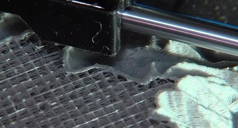
Eric Eliason, adjunct professor of business at Utah State, and Brad Janssen, a student of landscape architecture, found a way to reduce the cost and improve the detail in big 3-D maps found in visitor centers. They use two-dimensional topographic maps from the U.S. Geological Survey. The data is converted into 3-D models and spit out in plastic by a 3-D printer.
Map-making is nearly as old as civilization. But a professor and former student at Utah State University claim to have found a new way to do it. They say they've dramatically reduced the cost and improved the detail in big 3-D visitor center maps.